 This weekend I had the chance to play with my new toy - sorry - navigation instrument.
Our old e-Trex has been suffering for a while. Two pieces of foil were the only things keeping the batteries in contact with the unit, and the connection would repeatedly get lost.
So after a lot of research, mainly on the Forum and e-mailing Douglas at SeaKayakPhoto.com, I took the plunge. It cost me £300 plus another £100 for the Bluechart for the west coast of Scotland.
As well as some neat GPS-type functions, you can also upload the chart (or topo maps) to the unit and see this as a moving map on the display. As the photo shows, this isn't much use in bright sunlight, but where it does score is when adding a way-point on the fly.
 Move the arrow to the point on the map where you want to go, press a button, and that's it marked as a waypoint. There's no messing about with co-ordinates.
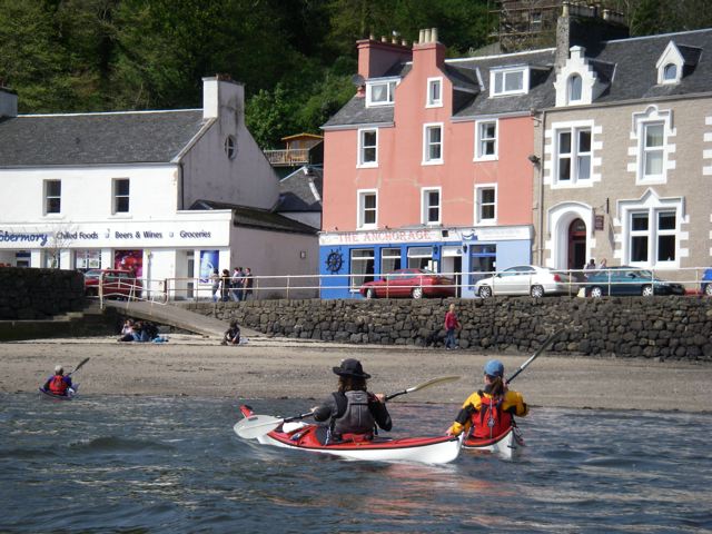
We didn't really need it on Saturday as we crossed Loch Sunart and then the Sound of Mull into Tobermory, or today as we messed about at the south end of the Sound of Mull, but it's good to have a track of the trip.
Douglas' description of using a similar GPS is very useful and only serves to illustrate how much more I have to learn to get the most out of this unit.